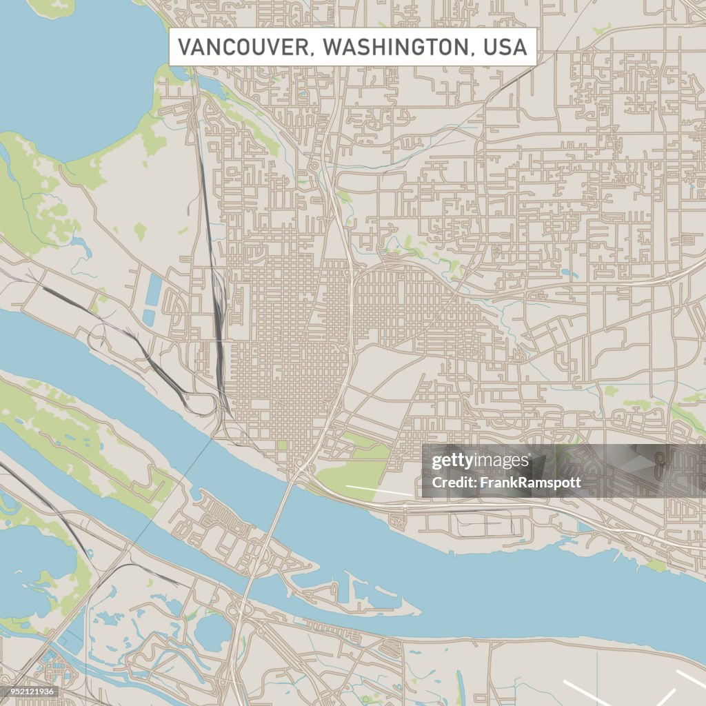
Stadt Stadtplan Vancouver Washington USA - Stock-Grafiken
Vector Illustration of a City Street Map of Vancouver, Washington, USA. Scale 1:60,000.
All source data is in the public domain.
U.S. Geological Survey, US Topo
Used Layers:
USGS The National Map: National Hydrography Dataset (NHD)
USGS The National Map: National Transportation Dataset (NTD)

Sichern Sie sich dieses Bild in einem von vielen Rahmen auf Photos.com.
EINE LIZENZ KAUFEN
Alle Lizenzen für lizenzfreie Inhalte beinhalten weltweite Nutzungsrechte, umfangreichen Schutz und eine einfache Preisgestaltung mit Mengenrabatten
335,00 €
EUR
Getty ImagesStadt Stadtplan Vancouver Washington Usa, Stock-Foto Laden Sie authentische Premium-Grafiken zum Thema Stadt Stadtplan Vancouver Washington USA von Getty Images herunter. Entdecken Sie ähnliche hochauflösende Grafiken in unserem umfangreichen Bildkatalog.Product #:952121936
 Laden Sie authentische Premium-Grafiken zum Thema Stadt Stadtplan Vancouver Washington USA von Getty Images herunter. Entdecken Sie ähnliche hochauflösende Grafiken in unserem umfangreichen Bildkatalog.Product #:952121936
335€50€
Getty Images
In stockDETAILS
Bildnachweis:
Creative #:
952121936
Lizenztyp:
Kollektion:
DigitalVision Vectors
Max. Dateigröße:
4921 x 4921 px (41,66 x 41,66 cm) - 300 dpi - 8 MB
Hochgeladen am:
Ort:
United States
Releaseangaben:
Mit Eigentums-Release
Kategorien:
- Bundesstaat Washington,
- Vancouver - USA,
- Karte - Navigationsinstrument,
- Fluss Columbia River,
- Luftaufnahme,
- Stadtzentrum,
- Straßenkarte,
- Stadtplan,
- USA,
- Blau,
- Computergrafiken,
- Design,
- Digital generiert,
- Draufsicht,
- Farbbild,
- Fluss,
- Grau,
- Grün,
- Illustration,
- Kartographie,
- Kleinstadt,
- Niemand,
- Nordamerika,
- Physische Geographie,
- Quadratisch - Komposition,
- See,
- Stadt,
- Straßenverkehr,
- Städtische Straße,
- Text - Schriftsymbol,
- Vektor,
- Weiß,