The Quiraing - Stock-Fotografie
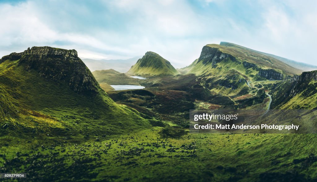
Also referred to as The Quiraing or Cuith-Raing is a landslip on the eastern face of Meall na Suiramach, the northernmost summit of the Trotternish or Tròndairnis (Scottish Gaelic) on the Isle of Skye, Scotland.
Taken in dramatic December weather, the stormy ephemeral light opens and beams of short lived godrays radiate down over the spiked land formation called The Cleat, Loch Cleat, and Loch Leum na Luirginn below. The highest ridge to the right is called Dun Dubh, and the interesting craggy dinosaur back - shark fin formation on the lower right is called Cnoc a Mheirlich.

Sichern Sie sich dieses Bild in einem von vielen Rahmen auf Photos.com.
EINE LIZENZ KAUFEN
Alle Lizenzen für lizenzfreie Inhalte beinhalten weltweite Nutzungsrechte, umfangreichen Schutz und eine einfache Preisgestaltung mit Mengenrabatten
475,00 €
EUR
DETAILS
Bildnachweis:
Creative #:
828279856
Lizenztyp:
Kollektion:
Moment
Max. Dateigröße:
9323 x 5363 px (78,93 x 45,41 cm) - 300 dpi - 21 MB
Hochgeladen am:
Ort:
Isle of Skye, Scotland, United Kingdom
Releaseangaben:
Keine Freigaben erforderlich
Kategorien:
- Landschaft,
- Berg,
- Schottland,
- Schottisches Hochland,
- Faszination,
- Europa - Kontinent,
- Majestätisch,
- Insel Skye,
- Ansicht aus erhöhter Perspektive,
- Edinburgh,
- Rebellion,
- Insel,
- Gebirge,
- Niemand,
- See,
- Vereinigtes Königreich,
- Drache,
- Irische Kultur,
- Klippe,
- Moor - Grasland,
- Horizontal,
- Klimawandel,
- Fels,
- Stimmungsvolle Umgebung,
- Beschaulichkeit,
- Extremlandschaft,
- Reiseziel,
- Coe-Tal,
- Paradies,
- Schöne Natur,
- Smaragdgrün,
- Dramatischer Himmel,
- Lebensweg,
- Vorstellungskraft,
- Gebirgskamm,
- Im Freien,
- Dramatische Landschaft,
- Konzepte,
- Stimmungsvoller Himmel,
- Farbbild,
- Fotografie,
- Freizeitaktivität im Freien,
- Hebriden-Inselgruppe,
- Kreuzzug,
- Quiraing Needle,
- Quirang,
- Reise,
- Tourismus,
- Freizeitaktivität,
- Hauptstadt,
- Ruhige Szene,
- Sonnenstrahl,
- Soziales Thema,
- Three Sisters of Glen Coe,
- Urlaub,